Cross Continental America
Subscribe to the NO industries or roads version of the map here.
Who will be the first to build a trans-continental railway? Or complete the Interstate highway network? Can you link all corners of the country by aircraft?
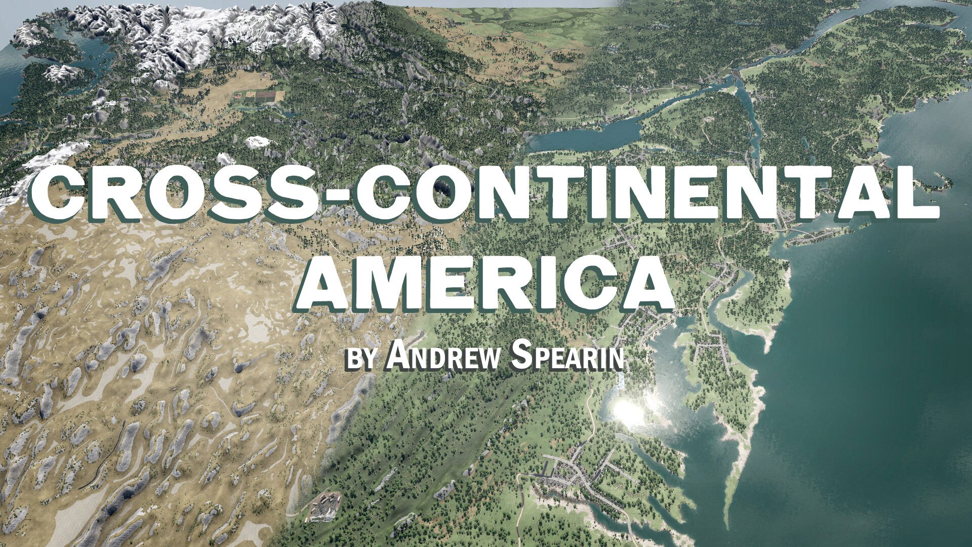
This vast landscape between the Atlantic and the Pacific ocean coasts fits within the largest Megalomaniac map size. It also features Canadian provinces from the Maritimes in the North-East corner of the map to Vancouver Island in the North-West corner. The Baja California peninsula and the Gulf of California in Mexico are in the South-West corner. Florida’s peninsula is in the South-East corner of the map.
I devoted hours into painting foliage and landscape by hand the various natural geographic areas so different sections parts of the map feel unique. Barren deserts in the south-west, snow peaked Rocky Mountains transforming into the great prairie plains cover a chunk of the centre, and dense Boreal Forest in the north.
This map feels like an RTS-game scale, and will result in relatively short lines between towns or industries. There certainly is a unique gameplay feel as a result.
Play a Free Game and plop your hometown on the map! Or, if you’d like to progress a historic Free Game starting in 1850, included below is a reference for where to begin and how to expand your endeavour to build a Trans-Continental Railroad, followed by decades of revolutionary transportation growth of the Interstate system and Airlines. The Great Lakes are navigable by ships, through the St Lawrence seaway and into the Atlantic. Industries are placed to serve regionally, however some city areas will require a distant link to fulfill demand for goods.
Construct routes that span the North-Eastern Atlantic seaboard States and Provinces.
Build the Great Western Railway route through South-Western Ontario from Buffalo to Detroit. Then connect Montreal to Toronto and on to Detroit.
The Civil War is raging and military railroads stretch across the battle-worn states.
Pacific Railroad is the first Transcontinental railway on the Continent. Construct railroad lines to the Pacific.
Build Interstate roads and highways for truck transport to disrupt rail transport. Build strategic airports in metropolitan areas of the map to import/export cargo and passengers.
Build the networks of your dreams!
Copyright 2019 – 2020 Andrew Spearin, Sharp End Studio Inc. This item is not authorized for posting on Steam, except under the Steam account named "Spearin”.
Like my work? Want more? Please click Like, Favourite, and if you’re feeling generous, please donate[www.paypal.com] to compensate the many hours it takes to create this work.
Revisions:
Old revisions of this mod are available below. Click the link to download.

