Straits of Gibraltar
The Straits of Gibraltar, where the Mediterranean meets the Atlantic and where the continents of Africa and Europe almost touch.
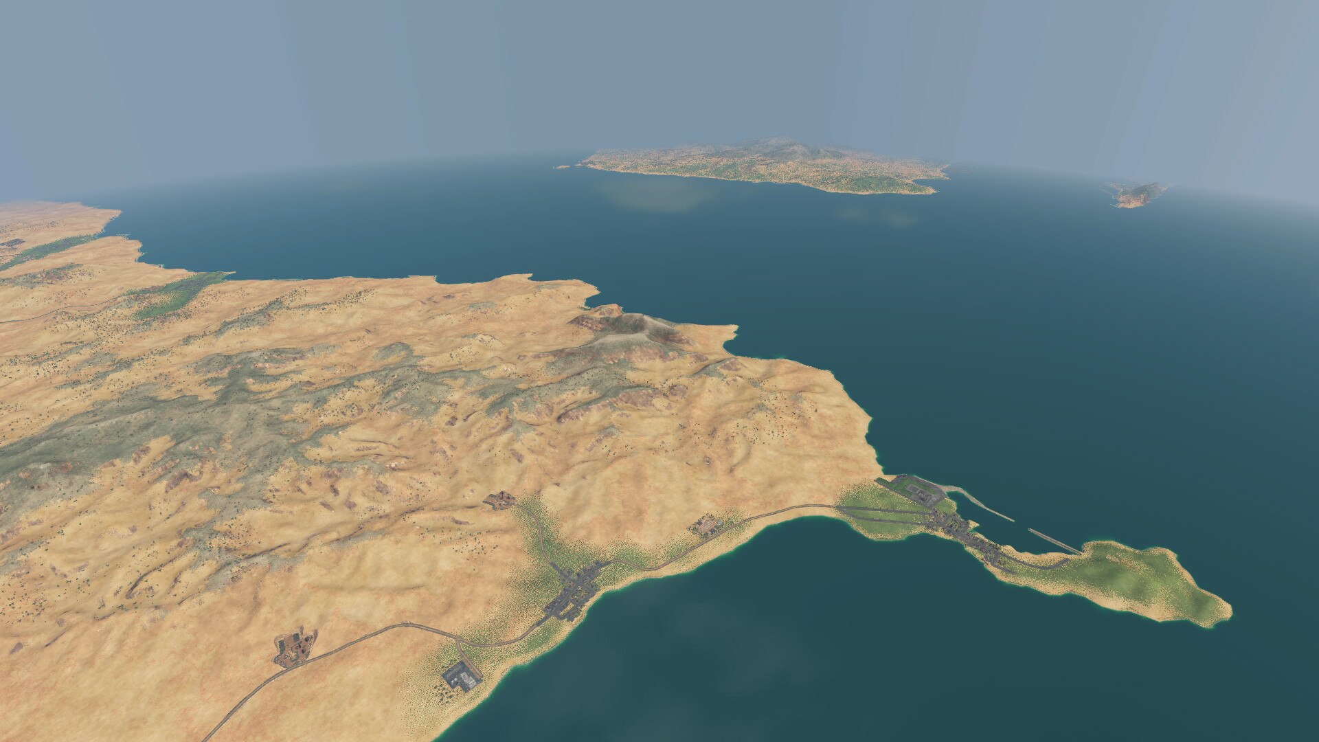
This very large (not experimental size) 1×1 map includes the towns and cities of Algeciras, Barbate, Gibraltar, Guadiaro, Los Barrios, Tahivilla, Tarifa, and Zahara de los Atunes, on the Iberian Peninsula, and the towns and cities of Ceuta, Fnideq, Ksar es Seghir, Oued Alian, Taghramt, and Tangier, in North Africa.
The map might be a little difficult to turn a profit in the early years, due to the time it takes for ships to earn an income, shipping lines are likely to be quite profitable in the longer run. The map includes the large port at Algeciras, and also rock barriers in other harbours, which high detailers might find useful with Workshop assets such as cranes and lighthouses.
Coastal rail routes are particularly scenic, especially along North Africa from Tangier to Ceuta, with the pale yellow sand contrasting nicely with the deeper blue of the ocean water. A route along the coastline of Southern Spain might also be enjoyable.
Industries have been placed with gameplay in mind, rather than realism, although storage tanks can be seen at about the location of the fuel refinery placed in Ceuta, and there also look to be refineries at the location of the two oil refineries between Algeciras and Gibraltar. All other industries were placed in order to allow for profitable freight lines to operate.
I hope that you enjoy this map.

