France Normandy: Paris-Le Havre
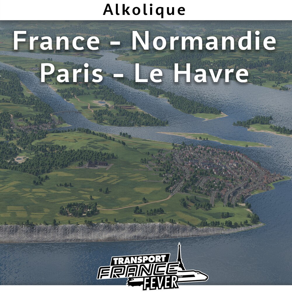
Map from Paris to Le Havre
From the suburbs to the open air! Follow the meanders of the Seine, from the city of light to the port of Le Havre.
Hand-drawn and prepared map with attention to consistent location of cities and industries. Precise design of rivers, fields and vegetation. Use of actual terrain, land use and vegetation data
Three major urban clusters with over 100 cities to connect between! Map oriented towards dense passenger traffic and commuter trains.
The Seine is fully navigable, the gentle relief allows the development of vast transport infrastructures.
Auteur :
- Alkolique
Map features:
- Actual terrain data
- Megalomaniacal size 1:4 12 x 48 km
- Texture and manual decorations
- 113 cities, 220 industries
The French community:


