Croatia
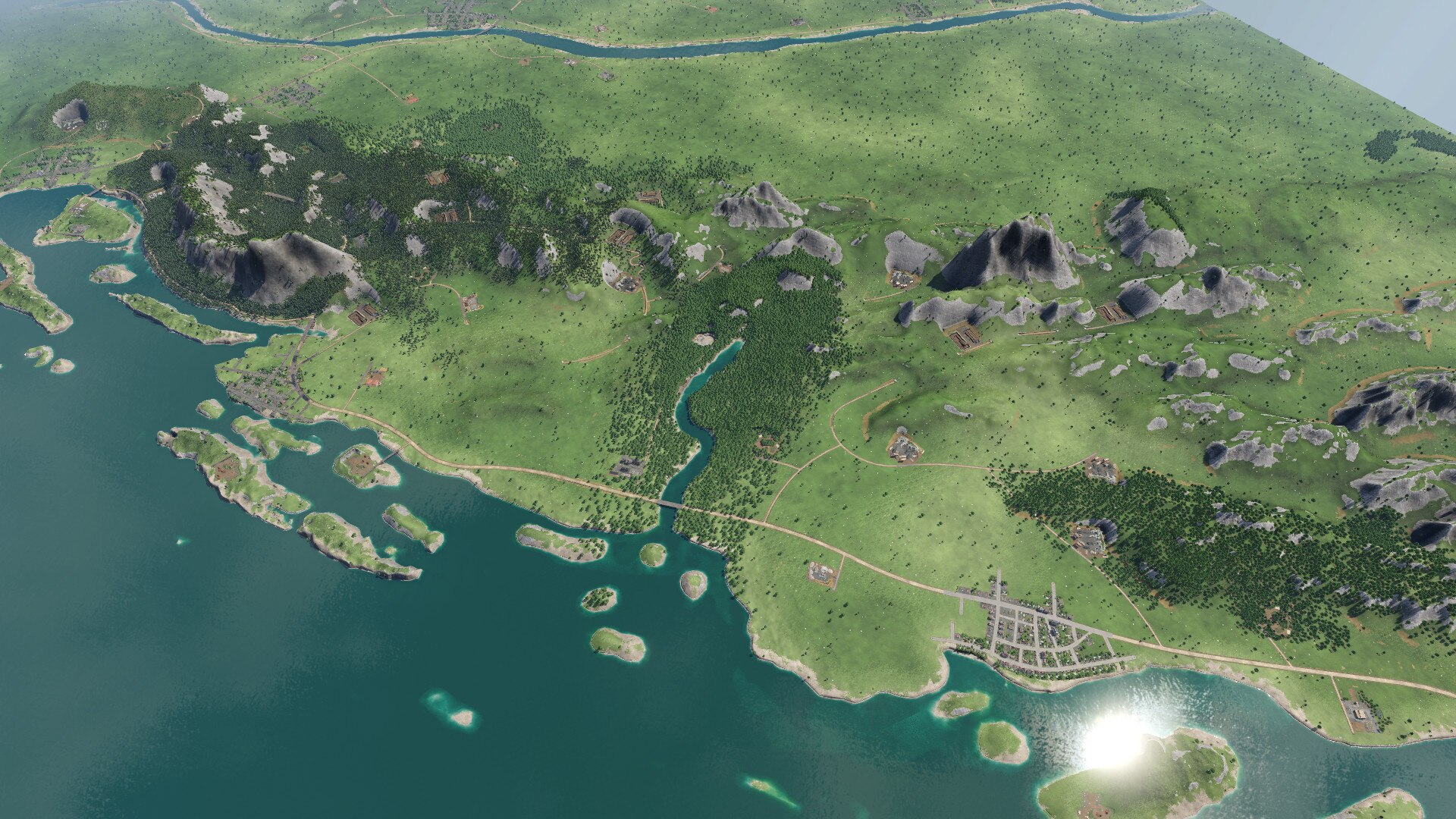
Medium, 1:1 map of Croatia, very detailed,
Map was manually created using most recent data.
8 cities
– Huge: Zagreb, Rijeka, Split
– Large: Osijek
– Medium: Zadar, Varaždin
– Small: Karlovac, Slavonski Brod
5 rivers
– Sava > Dunav
– Drava > Dunav
– Dunav
– Krka
– Mura > Drava
Mountain ranges
– Dinarides
– Medvednica
– many others
Adriatic sea and its many islands, including, but not limited to:
– Hvar
– Brač
– Korčula
– Krk
– Cres
– Kornati
European trans-continental highways
– E71
– E65
– E70
Cities have custom population targets, as per last census of 2011, divided by 1000 and including neighbouring cities that didn’t make the cut.
The population targets are as follows:
– Zagreb 800
– Split 243
– Rijeka 198
– Osijek 161
– Varaždin 120
– Zadar 105
– Karlovac 96
– Slavonski Brod 88
Cities demand commecial and industrial products according to their real-life needs. For example, cities in Slavonia have a Food demand, while the cities on the JANAF have a Fuel demand. As such, demands are:
– Zagreb – Goods – ConMat
– Split – Goods – Machines
– Rijeka – Tools – Fuel
– Osijek – Food – ConMat
– Varaždin – Tools – Machines
– Zadar – Food – ConMat
– Karlovac – Tools – Fuel
– Slavonski Brod – Food – Fuel
The special care was placed into optimizing the number of cities demanding each product. Since Goods and Machines have the most complex supply lines, only 2 cities demand each, while all other products are demanded by 3 cities in total.
An extensive research has been done to place industries in the correct location, where it makes sense historically or nowadays. Given the demands above, there are 62 industries on the map, more specifically:
2x Tools
4x Planks
8x Logs
8x Grain
2x Food
2x Goods
4x Steel
8x Coal
8x Iron
2x Plastic
4x Oil
4x Crude
2x ConMat
2x Stone
2x Machines
2x Fuel
Each industry has been manually placed on the map and connected to the road network.
——

