Innsbruck Map
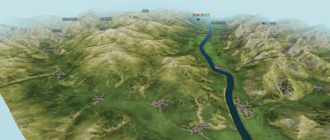
A map of the city Innsbruck and it’s surroundings. Lot of towns and villages from the regions Inntal, Zillertal, Brenner, Stubaital and Karwendel. All kinds of industries are on the map. Size of the map: 4097×4097 pixels or 16×16 km. Have fun!

